Severe Storm Threat Returns to DC Region Tuesday
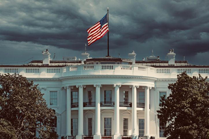
Tuesday may start relatively quiet across the DMV, but residents should keep an eye on the sky as another round of thunderstorms could interrupt afternoon and evening plans. Warm, moisture-filled air remains settled over the Washington region, keeping conditions humid throughout the day. Temperatures are expected to rise into the upper 80s and low 90s, with a high near 91 degrees in the District.
Some communities woke up to light showers Tuesday morning, including areas around Dulles International Airport. Those early showers are expected to gradually weaken as they move east, giving the region an opportunity to see some sunshine around midday. That break may not last long.
After roughly 3 p.m., conditions could become favorable for new thunderstorms to develop across parts of the DMV. While storms are not expected to cover the entire region, the District remains under a marginal risk for severe weather. Damaging wind gusts are the primary concern with any stronger storms that form.
The timing could also create problems for Tuesday’s evening commute. Drivers should be prepared for sudden downpours, reduced visibility and changing road conditions if storms develop along major routes. The unsettled pattern isn’t disappearing immediately. Wednesday is expected to bring another hot and humid day, with temperatures again hovering around 90 degrees and additional chances for thunderstorms.
Storm opportunities could continue through the latter part of the workweek before a more comfortable change arrives. By the weekend, the DMV could finally get a break from the persistent humidity. Drier conditions and lower moisture levels are expected to move into the region, potentially setting the stage for a much more pleasant stretch of summer weather.
Severe Storm Threat Returns to DC Region Tuesday was originally published on kysdc.com


